Define the observation problem
The site, assets, likely incidents, coverage gaps and required response time determine the operating concept.


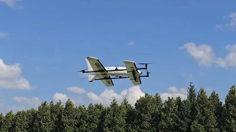
Security and situational awareness
Aerial observation can shorten the time between an event and an informed response. We design the aircraft, sensor and command workflow around the actual risk environment.
Service brief
Delivered in Malawi
Our security work ranges from short-duration thermal observation to long-endurance monitoring across estates, infrastructure corridors and remote operating areas. Camera choice, launch method, communications, evidence handling and the role of the ground team are established before deployment. The objective is useful situational awareness within a documented, lawful operating process—not indiscriminate monitoring.
Suitable sectors
Working method
Each stage leaves a decision trail—from the initial brief through field execution and handover.
The site, assets, likely incidents, coverage gaps and required response time determine the operating concept.
Thermal, low-light, zoom or EO/IR payloads are matched to range, endurance, launch space and the information the control room needs.
Mission procedures cover tasking, live viewing, escalation, data retention, handover and coordination with authorised personnel.
Outputs
The final scope is written around the mission and the output your team will use. Typical components include:
System fit
Availability, payload compatibility and the final operating configuration are confirmed during consultation.
Plan the next step
Tell us the site size, terrain, current blind spots, response workflow and whether the requirement is mobile, fixed-site or long-endurance.
Aircraft, payload and service availability may change. Flight operations remain subject to site conditions, the approved operating scope and applicable Malawi aviation requirements. Manufacturer performance figures are not service guarantees.